INTRODUCING
BOOKINGS ON WIKICAMPS
Mangatainoka Hut
 Campground
Description
Located at 720 metres altitude, this hut is well placed for hunting and provides access to the less-accessible northern area of the Kaweka Forest Park. It is a standard six-bunk hut. Fees apply. Bookings not required - first come, first served.
Facilities include Wood burning stove, River water supply, Meat safe and Long drop style toilet.
Mangatainoka Hut is located very close to the northern park boundary on the true left bank of the Mangatainoka River (a tributary of the Mohaka River)
Built in 1966, this huts original standard design has been upgraded by adding a small covered front veranda and an outside wood cupboard. The hut sits on a narrow old riverbed terrace overlooking the Mangatainoka River. The water supply river is located 25 metres below the hut. The huts position within the narrow river valley means that low sunshine hours are common in winter. Heavy winter frosts and brief snowfalls in winter should also be expected, but the hut is well sheltered from the strong westerly winds that affect other parts of the park.
Getting there
Please be aware that the hut site is approximately 200 metres from the northern Kaweka Forest Park boundary. Permission is required from the Maori landowners to access their land.
Helicopter
The helipad is located on the old riverbed terrace, approximately 25 metres from the hut. Flight availability and costs can be obtained from helicopter concessionaires in the central North Island.
Walking
Tussock Hut (5 6 hr)
From Tussock Hut, a marked route leads north to the top northern finger of the Tussock Valley and then heads north-east up, along and down a ridge that joins the upper Mangatainoka River. From here, the track is not well defined and trampers can follow the river down to the hut. Expect this trip to take 5 to 6 hours to cover approximately 9 kilometres.
Te Puia Lodge (9 hr)
From Te Puia Lodge travel to Mangatainoka Hut is over private land via the river valleys of the Mohaka and Man
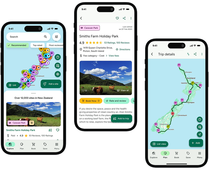
Find this site and more on WikiCamps
Take the ultimate camping companion on your next trip, with these great features:
![]() Explore more than 60,000 sites across New Zealand with detailed site information at your fingertips
Explore more than 60,000 sites across New Zealand with detailed site information at your fingertips
![]() Stay in the know with exclusive, insightful reviews from fellow travellers
Stay in the know with exclusive, insightful reviews from fellow travellers
![]() Map journeys, plan your route, and gauge your fuel spend with Trip Planner
Map journeys, plan your route, and gauge your fuel spend with Trip Planner
![]() No signal? No worries! Use offline mode to travel anywhere with WikiCamps
No signal? No worries! Use offline mode to travel anywhere with WikiCamps
![]() Add sites to your collections, search with intuitive filters, and so much more...
Add sites to your collections, search with intuitive filters, and so much more...
Get WikiCamps now!
Download WikiCamps from the App Store on your device.

