INTRODUCING
BOOKINGS ON WIKICAMPS
Atene Skyline Campsite (Walk-in)
 Campground
Description
The Atene Skyline Track has spectacular views and a campsite for trampers wanting to stay the night.
Walking and tramping 6 - 8 hr.
Beginning at the up-river end, the track climbs steeply from the River Road to a height of 260 m through fine lowland forest. Following an old, gently graded roadline for approximately 3 km the track follows the ridgeline to a clearing which marks the track's halfway point. A campsite with drinking water, a shelter and a toilet is available here.
Shortly beyond this point is the Taumata Trig, the highest point of the track at 572 m. The track then winds around the edge of sandstone bluffs to reach Taupiri Trig before descending steeply back to the River Road.
The two entrances to this almost circular track begin on the Whanganui River Road, 36 km from Whanganui. Both entrances to the track are less than 2 km apart.
Fires are not permitted in Whanganui National Park.
During dry periods, extra water should be carried as the shelter water may be dry or stagnant. Treat or boil all water before drinking.
This area is remote with no mobile phone coverage. You should carry an emergency alert device (eg PLB/Spot tracker).
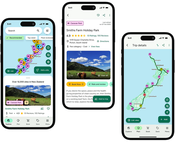
Find this site and more on WikiCamps
Take the ultimate camping companion on your next trip, with these great features:
![]() Explore more than 60,000 sites across New Zealand with detailed site information at your fingertips
Explore more than 60,000 sites across New Zealand with detailed site information at your fingertips
![]() Stay in the know with exclusive, insightful reviews from fellow travellers
Stay in the know with exclusive, insightful reviews from fellow travellers
![]() Map journeys, plan your route, and gauge your fuel spend with Trip Planner
Map journeys, plan your route, and gauge your fuel spend with Trip Planner
![]() No signal? No worries! Use offline mode to travel anywhere with WikiCamps
No signal? No worries! Use offline mode to travel anywhere with WikiCamps
![]() Add sites to your collections, search with intuitive filters, and so much more...
Add sites to your collections, search with intuitive filters, and so much more...
Get WikiCamps now!
Download WikiCamps from the App Store on your device.

